Current conditions
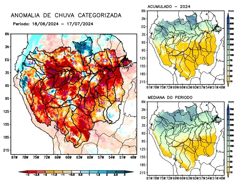
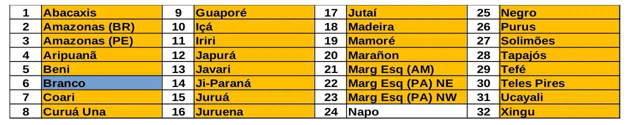
Maps of observed precipitation conditions, individual graphics by basin are produced from MERGE/GPM data generated by INPE/CPTEC, considering the period from de 2000 a 2023. Between June 18 and July 17, 2024, the rainfall pattern remains below climatological levels in a large part of the monitored area, with a precipitation deficit along the course of the Amazon in Peruvian and Brazilian territory, the basins of the Abacaxis, Aripuanã, Beni, Coari, Curuá Una, Guaporé, Içá, Iriri, Japurá, Javari, Ji-Paraná, Juruá, Juruena, Jutaí, Madeira, Mamoré, Marañon, basins on the left bank of the Amazon River in the northeast of the state of Amazonas and the northeast and northwest of the state of Pará, Negro, Purus, Tapajós, Tefé, Teles Pires, Ucayali, Xingu and the main course of the Solimões River. In recent weeks, higher volumes of precipitation have been recorded over the north of the monitored area, and at the moment the Branco River basin remains characterized by positive precipitation anomalies. The Napo River basin, alternating areas with positive and negative anomalies, is considered to have observed rainfall close to the climatology for the period. The sub-seasonal multi-model forecast indicates rainfall below climatology prevailing over a large part of the monitored area in the coming weeks.