Current conditions
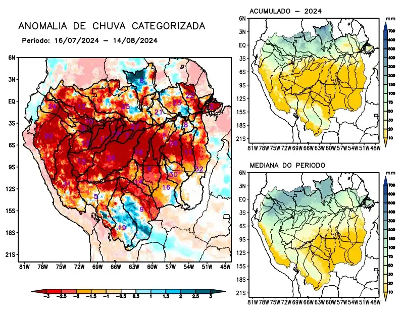
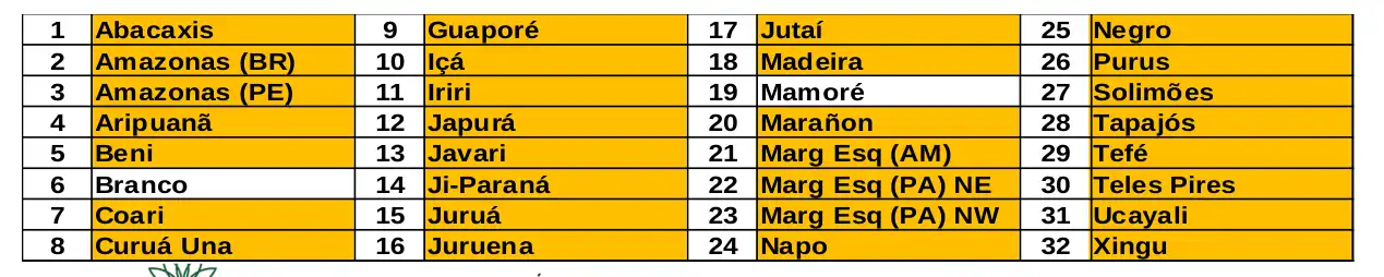
Maps of observed precipitation conditions, individual graphics by basin are produced from MERGE/GPM data generated by INPE/CPTEC, considering the period from de 2000 a 2023. Between July 16 and August 14, 2024, the rainfall below climatology in a large part of the monitored area, with a area monitored, with rainfall deficits along the course of the Amazon in Peruvian and Brazilian territory, the hydrographic basins of the Abacaxis, Aripuanã, Beni, Coari, Curuá Una, Guaporé, Içá, Iriri, Japurá, Javari, Ji-Paraná, Juruá, Juruena, Jutaí, Madeira, Marañon, basins on the left bank of the Amazon River in the northeast of the state of Amazonas and north-east and north-west of the state of Pará, Napo, Negro, Purus, Tapajós, Tefé, Teles Pires, Ucayali, Xingu and the main course of the Solimões River. The Branco and Mamoré river basins alternated areas with positive and negative anomalies, and were considered to have precipitation close to the climatology for the period. The multi-seasonal forecast model indicates rainfall below the climatology predominating over the north of the region from the sources in the extreme west (the Ucayali, Marañon, Napo, Içá and Japurá river basins) to the mouth of the Amazon River near the island of Marajó (PA).