Current conditions
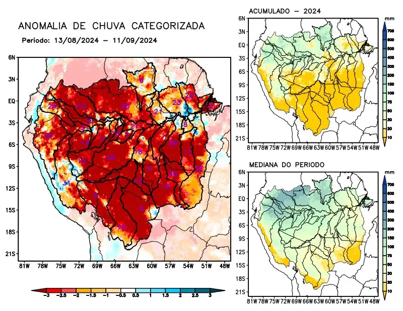
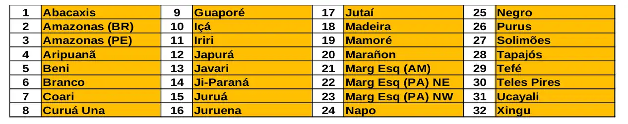
Maps of observed precipitation conditions, individual graphics by basin are produced from MERGE/GPM data generated by INPE/CPTEC, considering the period from de 2000 a 2023. Between August 13 and September 11, 2024, the rainfall pattern remains below climatological levels in a large part of the monitored area, with a precipitation deficit along the course of the Amazon in Brazilian and Peruvian territory, the hydrographic basins of the Abacaxis, Aripuanã, Beni, Branco, Coari, Curuá Una, Guaporé, Içá, Iriri, Japurá, Javari, Ji-Paraná, Juruá, Juruena, Jutaí, Madeira, Mamoré, Marañon, basins on the left bank of the Amazon River in the northeast of the state of Amazonas and in the northeast and northwest of the state of Pará, Napo, Negro, Purus, Tapajós, Tefé, Teles Pires, Ucayali, Xingu and the main course of the Solimões River. The sub-seasonal multi-model forecast indicates rainfall below climatology prevailing over almost all of the monitored basins, with the exception of the Curuá Una and Negro river basins.