Current conditions
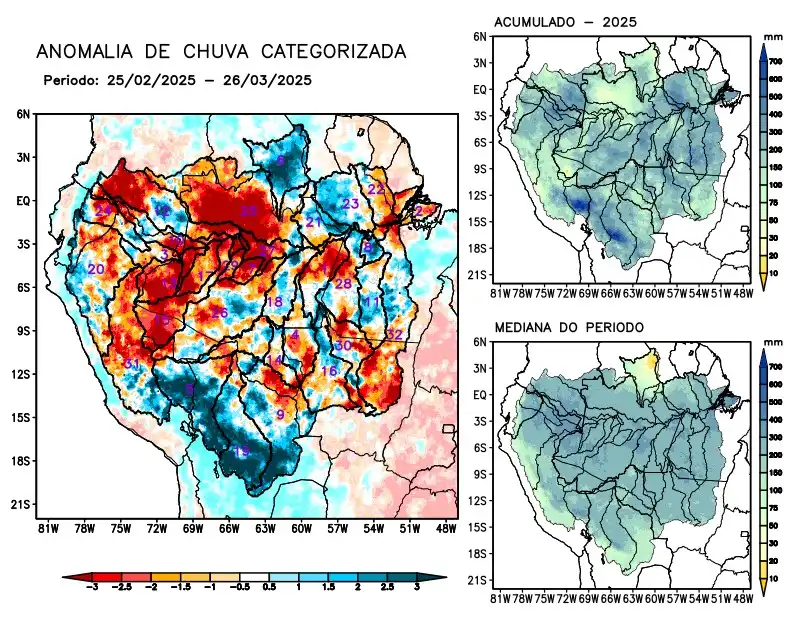
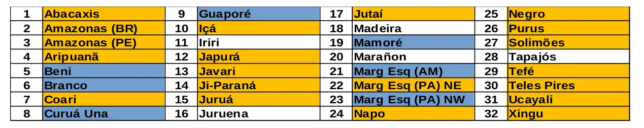
Maps of observed precipitation conditions, individual graphics by basin are produced from MERGE/GPM data generated by INPE/CPTEC, considering the period from de 2000 a 2024. Between February 25 to March 26, 2025, rainfall below climatology in the monitored area characterized the main course of the Amazon River in Brazilian and Peruvian territory, the basins of the Abacaxis, Aripuanã, Coari, Içá, Japurá, Javari, Ji-Paraná, Juruá, Jutaí rivers, basins on the left bank of the Amazon River in the northeast of the state of Pará, Napo, Negro, Purus, Tefé, Teles Pires, Ucayali, Xingu and the main course of the Solimões River, rainfall above climatology characterized the basins of the Beni, Branco, Curuá Una, Guaporé, Mamoré rivers, basins on the left bank of the Amazon River in the northeast of the state of Amazonas and the northwest of the state of Pará. Rainfall behavior close to climatology over the Iriri, Juruena, Madeira and Marañon river basins. The multi-model forecast indicates rainfall above climatology concentrated in the second week over the river basins of Beni, Coari, Javari, Mamoré, Marañon, the basins on the left bank of the Amazon River in the northeast of the state of Amazonas and the northeast and northwest of the state of Pará, Tapajós and Ucayali. Rainfall below climatology is forecast for the Guaporé, Iriri, Juruena, Teles Pires and Xingu river basins.