Current conditions
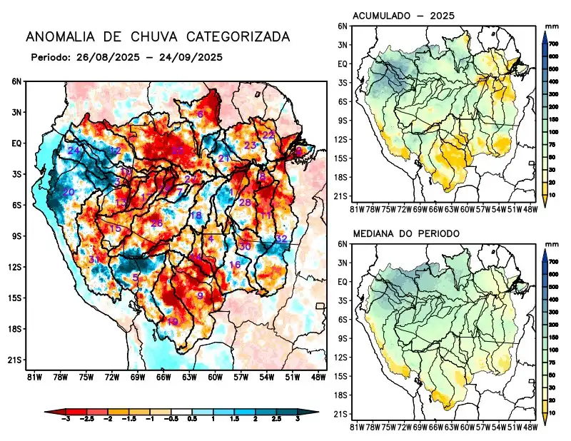
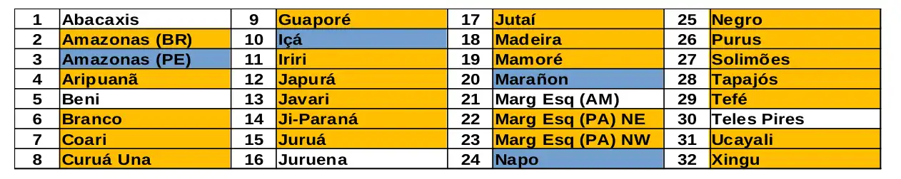
Maps of observed precipitation conditions, individual graphics by basin are produced from MERGE/GPM data generated by INPE/CPTEC, considering the period from de 2000 a 2024. Between August 26 to September 24, 2025, rainfall below climatological norms prevailed over Brazilian and Bolivian territories, characterized by a precipitation deficit over the main course of the Amazon River in Brazilian territory, the hydrographic basins of the Aripuanã, Branco, Coari, Curuá Una, Guaporé, Iriri, Japurá, Javari, Ji- Paraná, Juruá, Jutaí, Madeira, Mamoré, the left bank basins of the Amazon River in the northeast and northwest of the state of Pará, Negro, Purus, Tapajós, Tefé, Ucayali, Xingu, and the main course of the Solimões River; above-average rainfall forecast for the main course of the Amazon River in Peruvian territory, the Içá, Marañon, and Napo river basins; near-normal rainfall for the Abacaxis, Beni, and Juruena river basins, the left bank basins of the Amazon River in the northeast of the state of Amazonas, and Teles Pires. The multimodel indicates below-average rainfall for the coming weeks on the main course of the Amazon River in Brazilian territory, the Abacaxis, Aripuanã, Branco, Curuá Una, Iriri, Ji-Paraná, and Juruena river basins, the left bank basins of the Amazon River in the northeast of the state of Amazonas and the northwest of the state of Pará, Tapajós, Teles Pires, and Xingu; rainfall above climatological levels on the main course of the Amazon River in Peruvian territory and the hydrographic basins of the Içá, Japurá, Javari, Juruá, Jutaí, Napo, Purus, Tefé, and main course of the Solimões River.