Current conditions
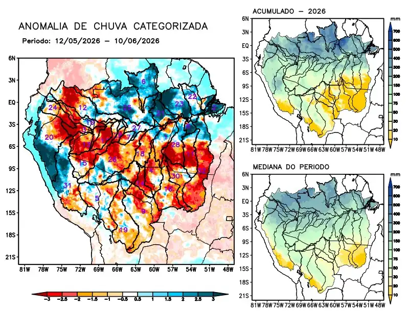
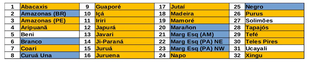
Maps of observed precipitation conditions, individual graphics by basin are produced from MERGE/GPM data generated by INPE/CPTEC, considering the period from de 1998 a 2025. Between May 12 to June 10, 2026, rainfall resulted in a precipitation deficit along the main course of the Amazon River in Peruvian territory, as well as in the watersheds of the Abacaxis, Aripuanã, Coari, Guaporé, Içá, Iriri, Japurá, Javari, Ji-Paraná, Juruá, Juruena, Jutaí, Madeira, Mamoré, Napo, and Purus rivers; Tapajós, Tefé, Teles Pires, and Xingu; above-normal rainfall was recorded along the main course of the Amazon River in Brazilian territory, the watersheds of the Branco, Curuá Una, and Marañon rivers, the left-bank watersheds of the Amazon River in the northeast of the state of Amazonas, the northeast and northwest of the state of Pará, and the Rio Negro watershed; rainfall close to normal recorded in the river basins of the Beni, Ucayali, and the main course of the Solimões River. The multi-model indicates, for the period from June 10 to June 16, 2026, a forecast of predominantly above-normal rainfall concentrated over the central and western parts of the monitored region; forecast of below-normal rainfall concentrated in the northeast of the monitored region, over the main course of the Amazon River within Brazilian territory, and the left-bank basins of the Amazon River in the northeast of the state of Amazonas, the northeast and northwest of the state of Pará, and the Rio Negro basin. Single-line diagram of the basins represented